- Barren Valley
Barren Valley: not a great name if you are a real estate agent trying to move some property in this area. But as I was following up on a tip to a secret chukar hunting spot, the name had a lot of promise. Janene was back in Boise working while I was taking some R & R from the Crappy Little House remodeling project. For five days I had been hunting and fishing in such well known places as Union, Harper, Juntura, and Riverside. I then took the Crowley Road south to what the BLM calls the “Owyhee Canyon Country” in SE Oregon to scout out a new area.
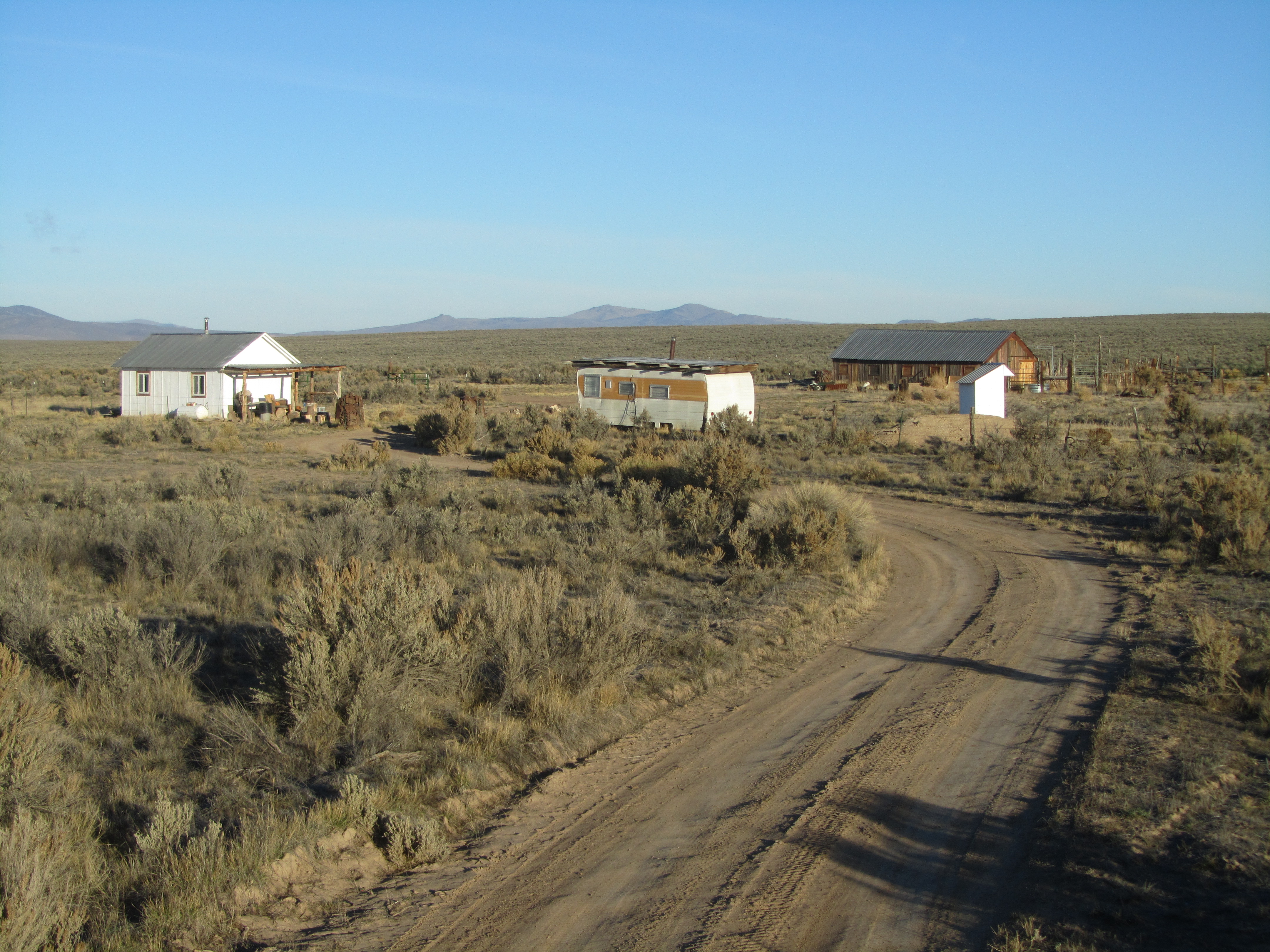
Once past the big crossroads of Crowley it was nothing but sagebrush until I got to the next big thing on the map, Clark Ranch. Not quite on par with Ben Cartwright’s Ponderosa. The roofing job on top of the travel trailer was innovative: a frame of wooden pallets covered with corrugated sheet metal. We might need to do that on our Crappy Little House someday.
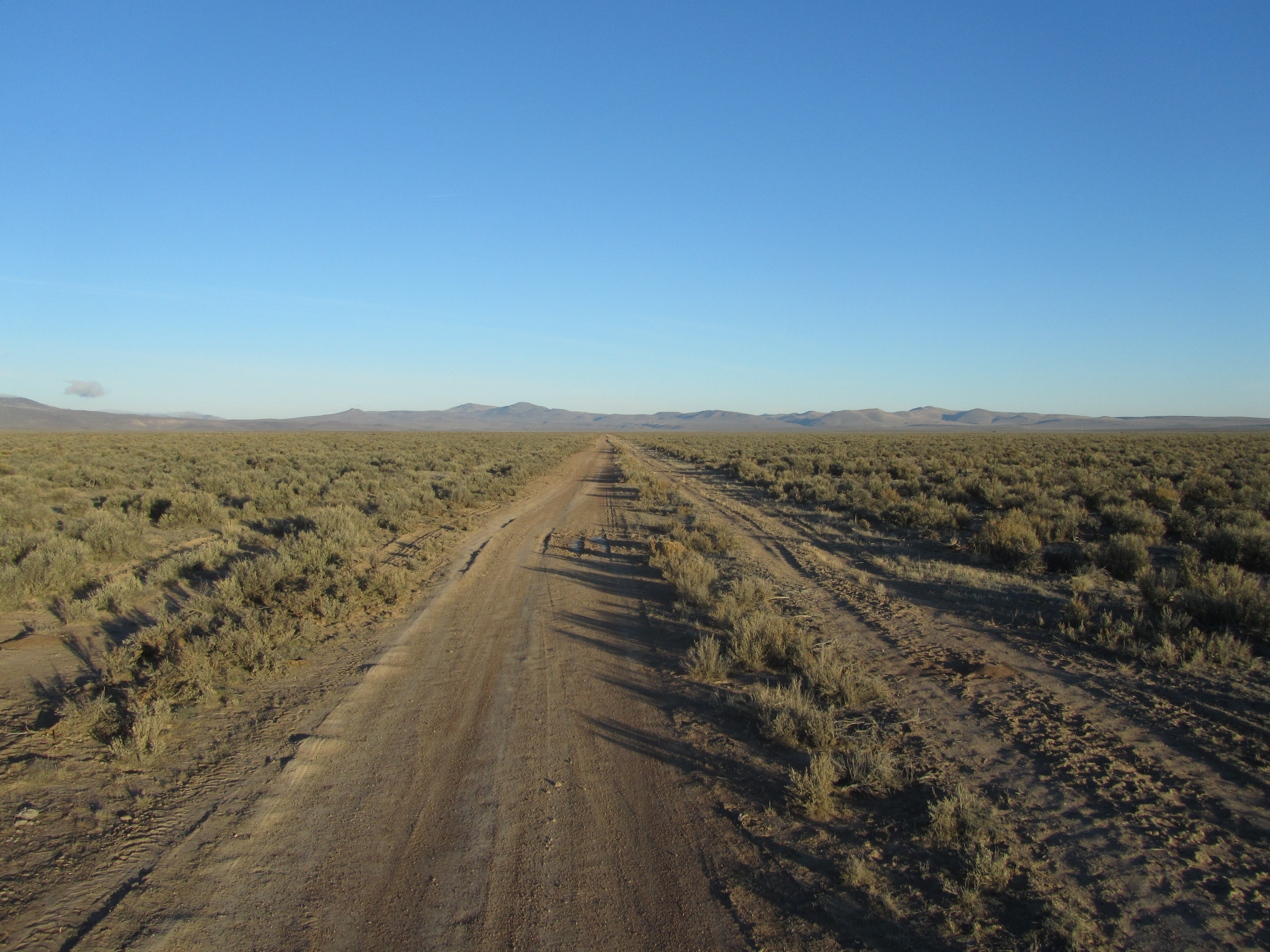
Moby’s towing insurance will pay for towing so long as Moby breaks down on a “maintained” road. Surely this Riverside-Crowley-Rome Road would count under that definition.

Darkness overtook so I made camp for the night. At least in Barren Valley it is not hard to find a level spot to park. Morning air temp: 15°F. And by the looks of the tracks a road grader had recently done some maintenance work so towing must be covered.
The morning sun lit up the snow on Steens Mountain 25 miles to the west.
From my morning campsite I spotted something big in the sage a few hundred yards away. As I drove closer I could see it was a Golden Eagle perched on a bigger sagebrush plant, but he flew off before I could get a photo. I guess he must have given up on finding a tree or cliff to roost on the night before.
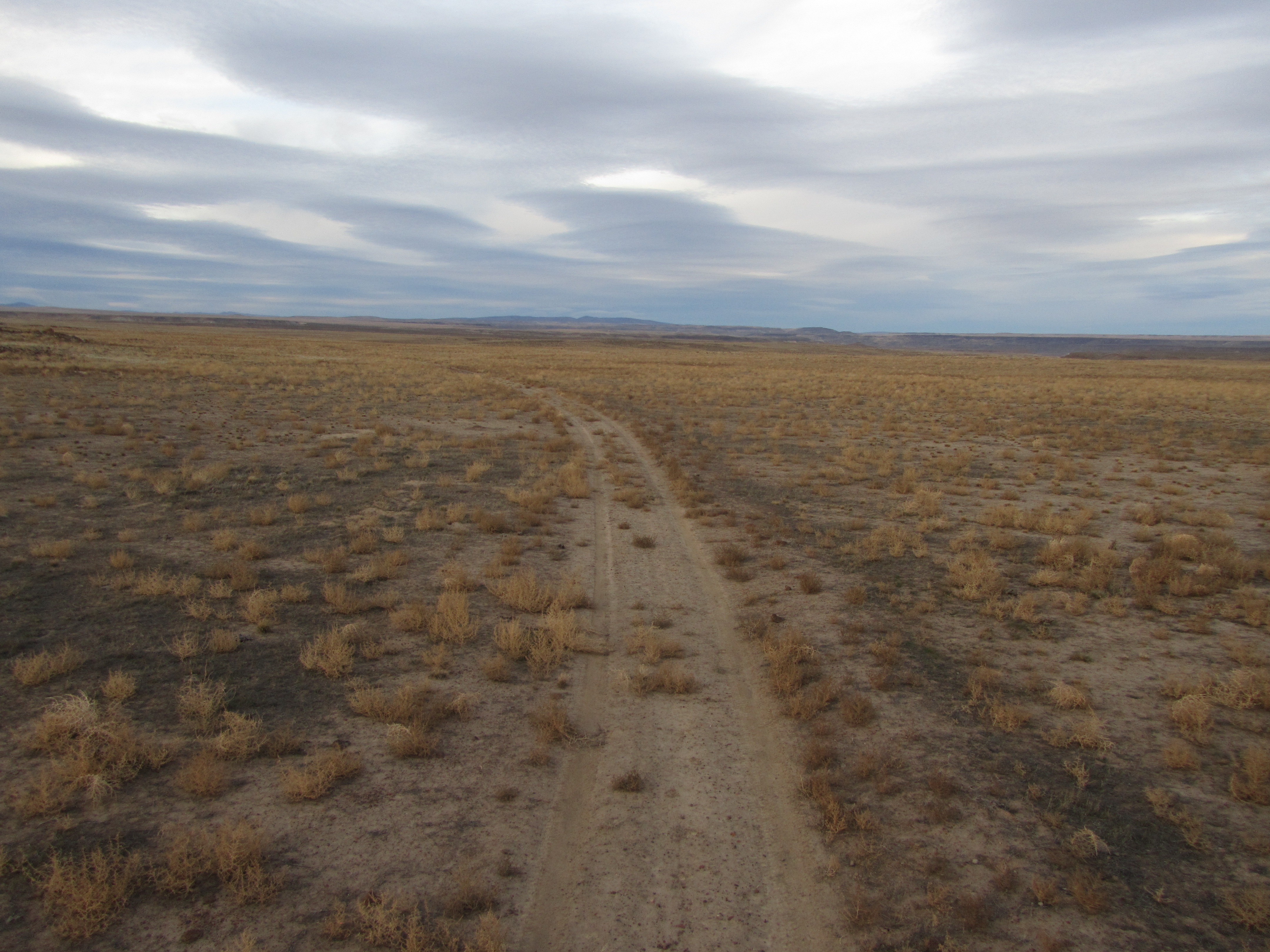
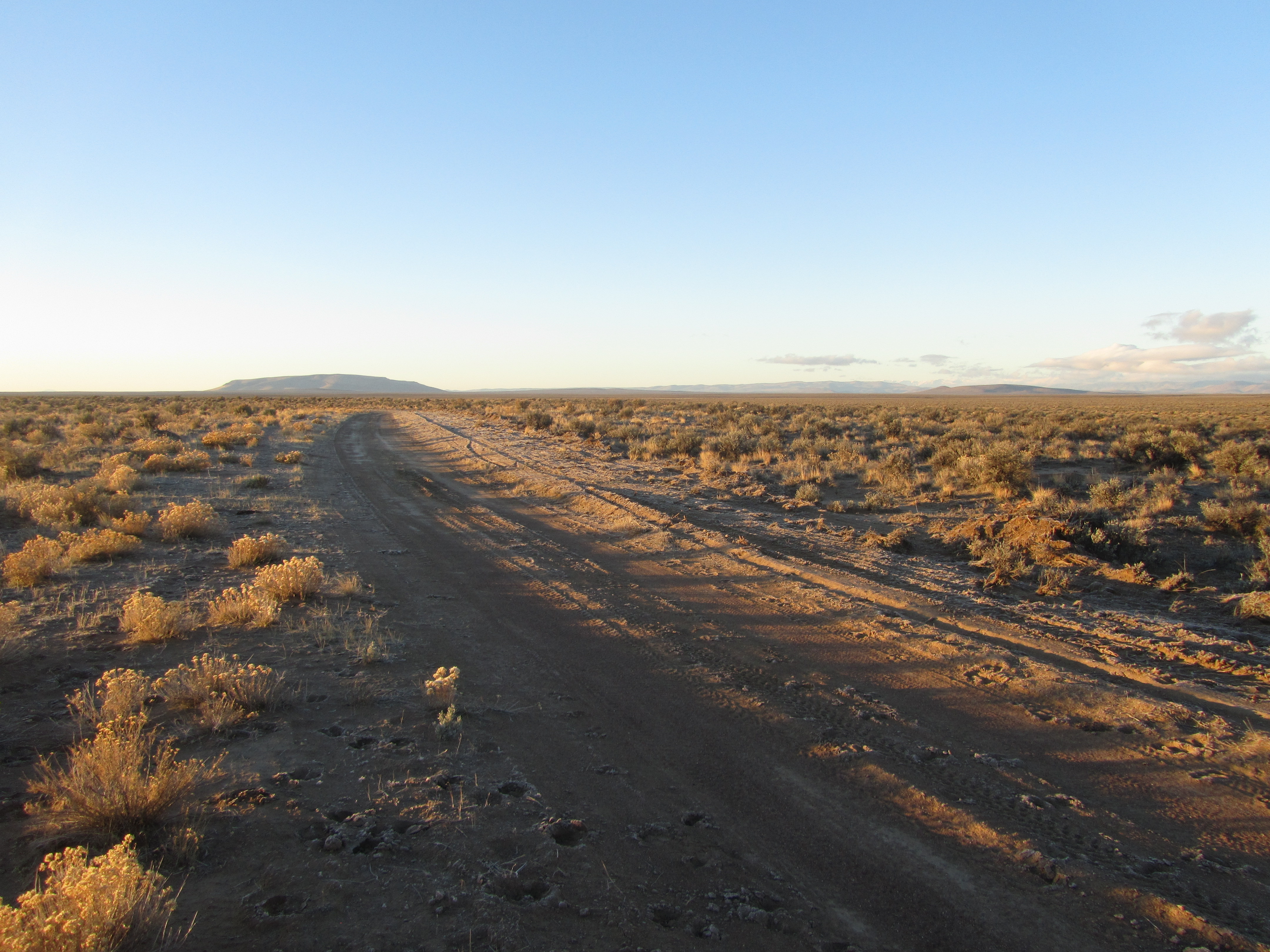
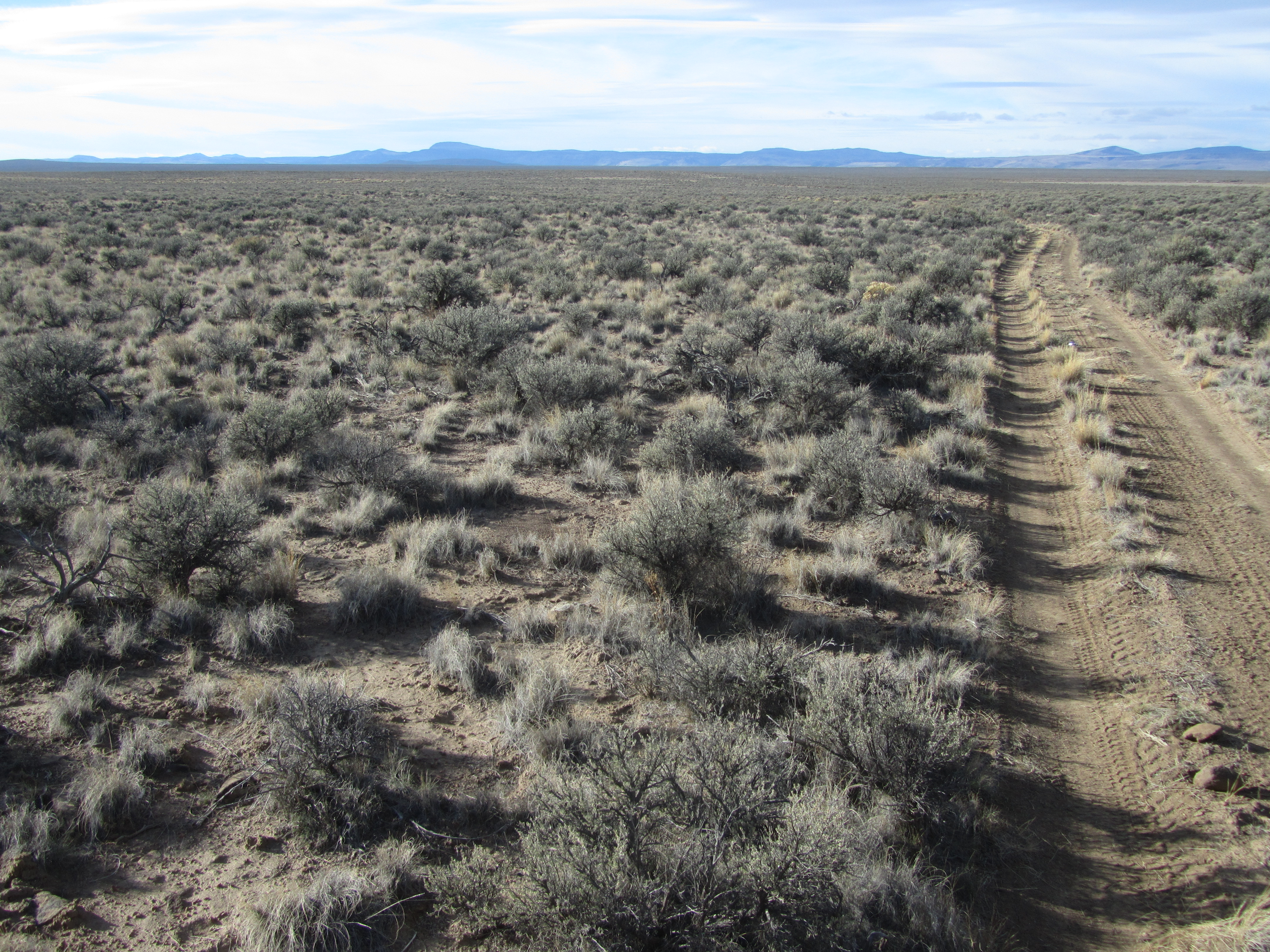
In the past three days and forty-some miles on the main road I had seen a grand total of zero other vehicles or people. But now it was time to turn off onto the road less traveled.
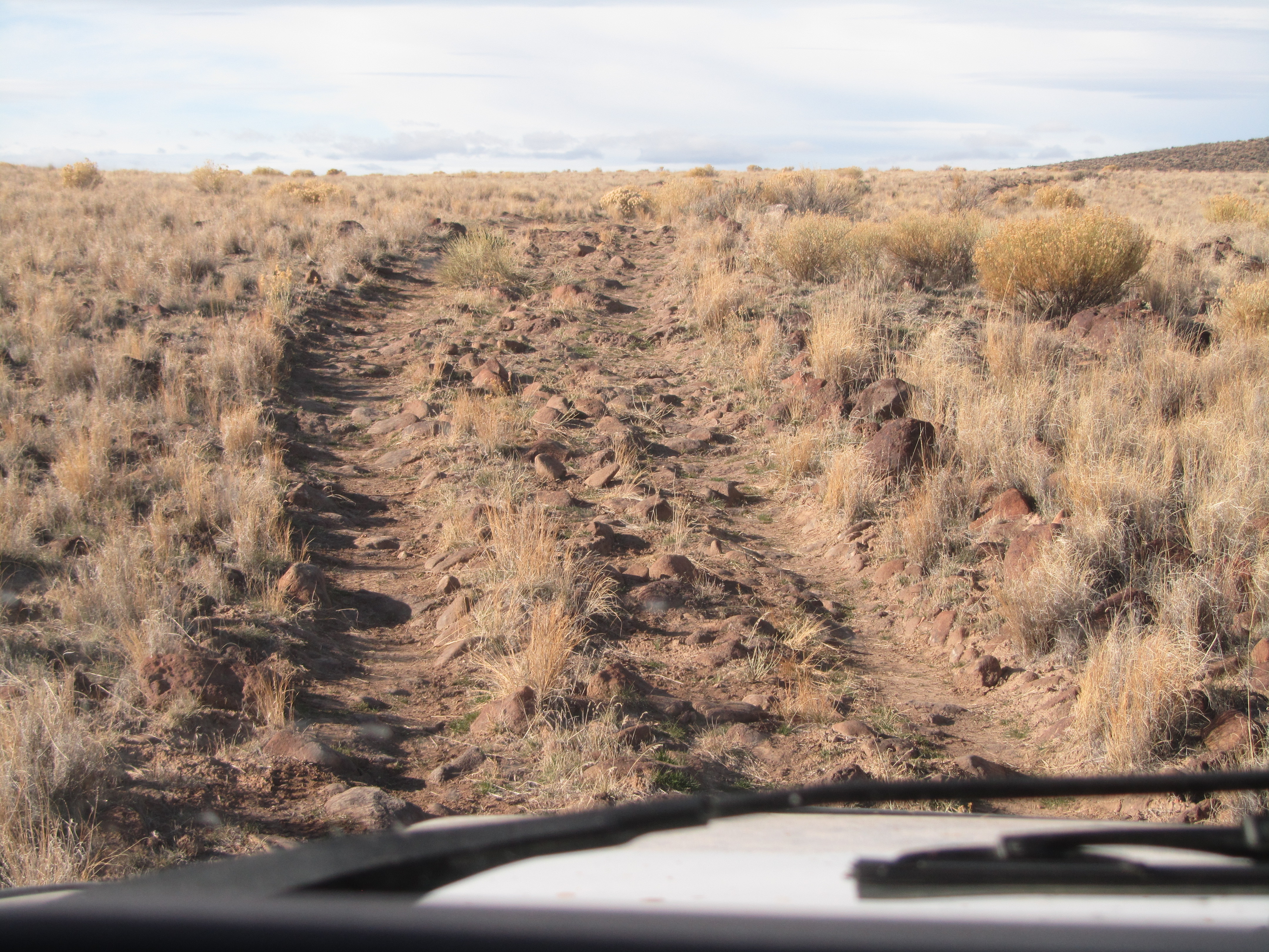
The final two miles of road were definitely not part of any regular maintenance program. But at some point folks had at least pushed the big rocks out off to the side. Would my insurance company consider that as maintained?
OK, there really wasn’t a parking lot or a trail. But it was the end of the road.
Leaving Moby up on top, I dropped down into the canyon.
Chukar populations can swing wildly, but they have been depressed the past few years in SE Oregon. There are many possible reasons, but bad weather during nesting season is usually the main problem. Clearly in this area over hunting is not part of the problem. But sometimes there can be pockets where nesting conditions were okay even if bad over most of the region. My hope was that this was one of those pockets, as a friend had told me his brother has seen lots of chukars just across the Owyhee River from this little side canyon.

In the winter, if there is plenty of green grass to eat, chukars do not need much water to drink. But in the summer they must have a water source to hit every day. This spring was named on the map and obviously had water year round.
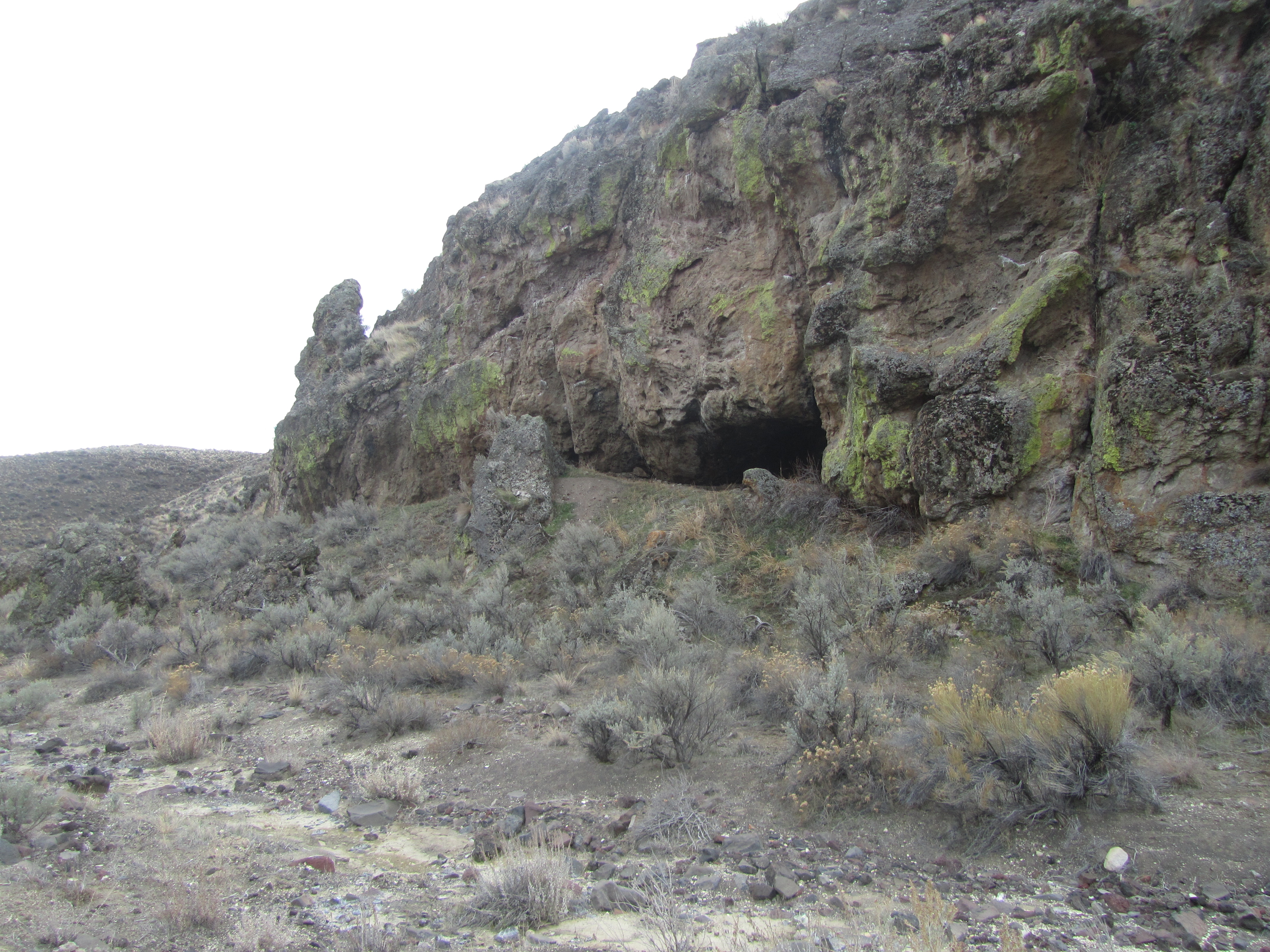
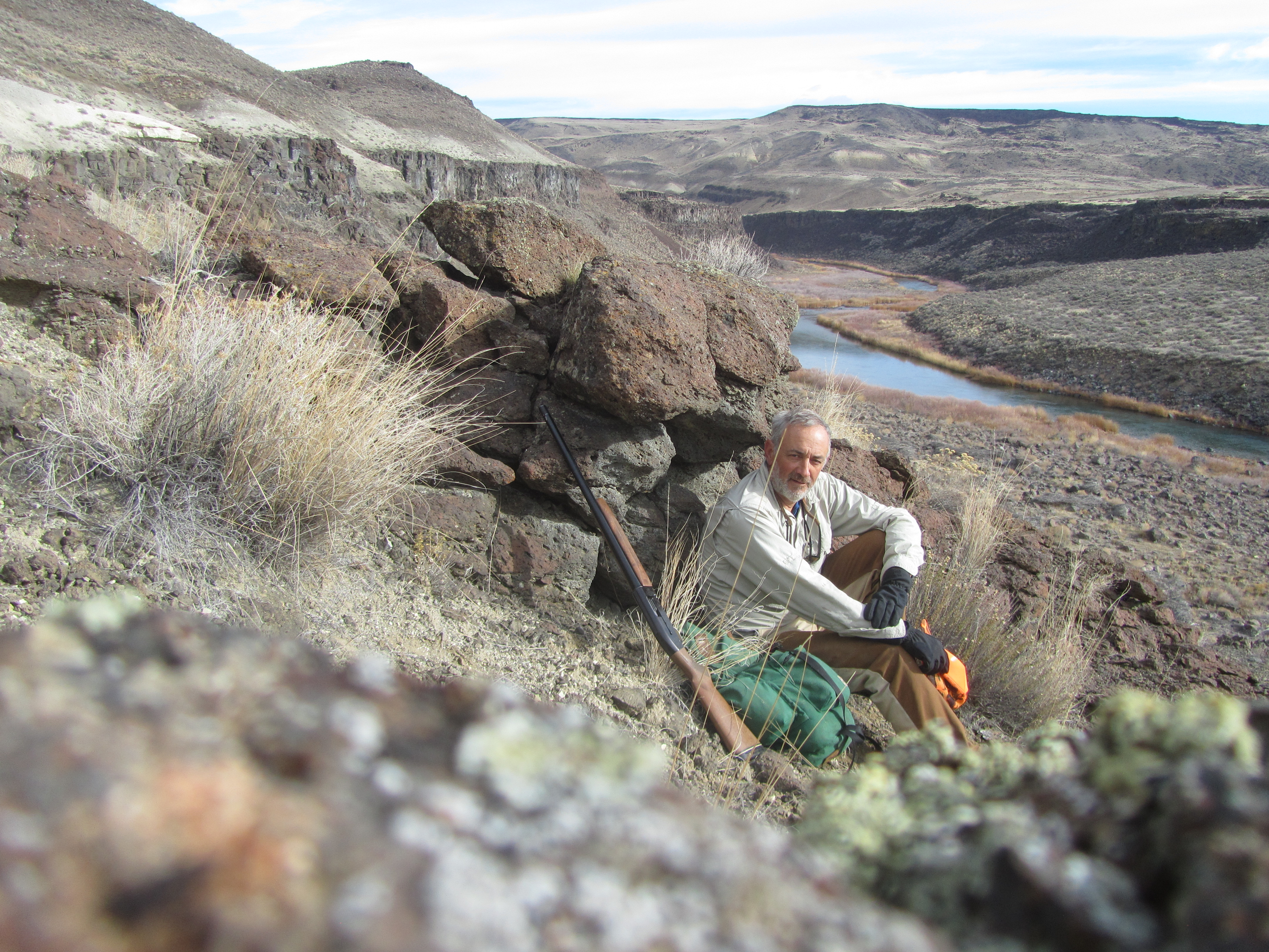
But there is more to hunting than killing animals. As my friend James once said on freezing cold, yet stunningly picturesque, December chukar hunt in Hells Canyon, “We should come out here just for the beauty, but if it wasn’t for the chance to kill something no way would I be here.” And so being out here gave me the chance to discover this cave hidden in the rocky creek bottom.
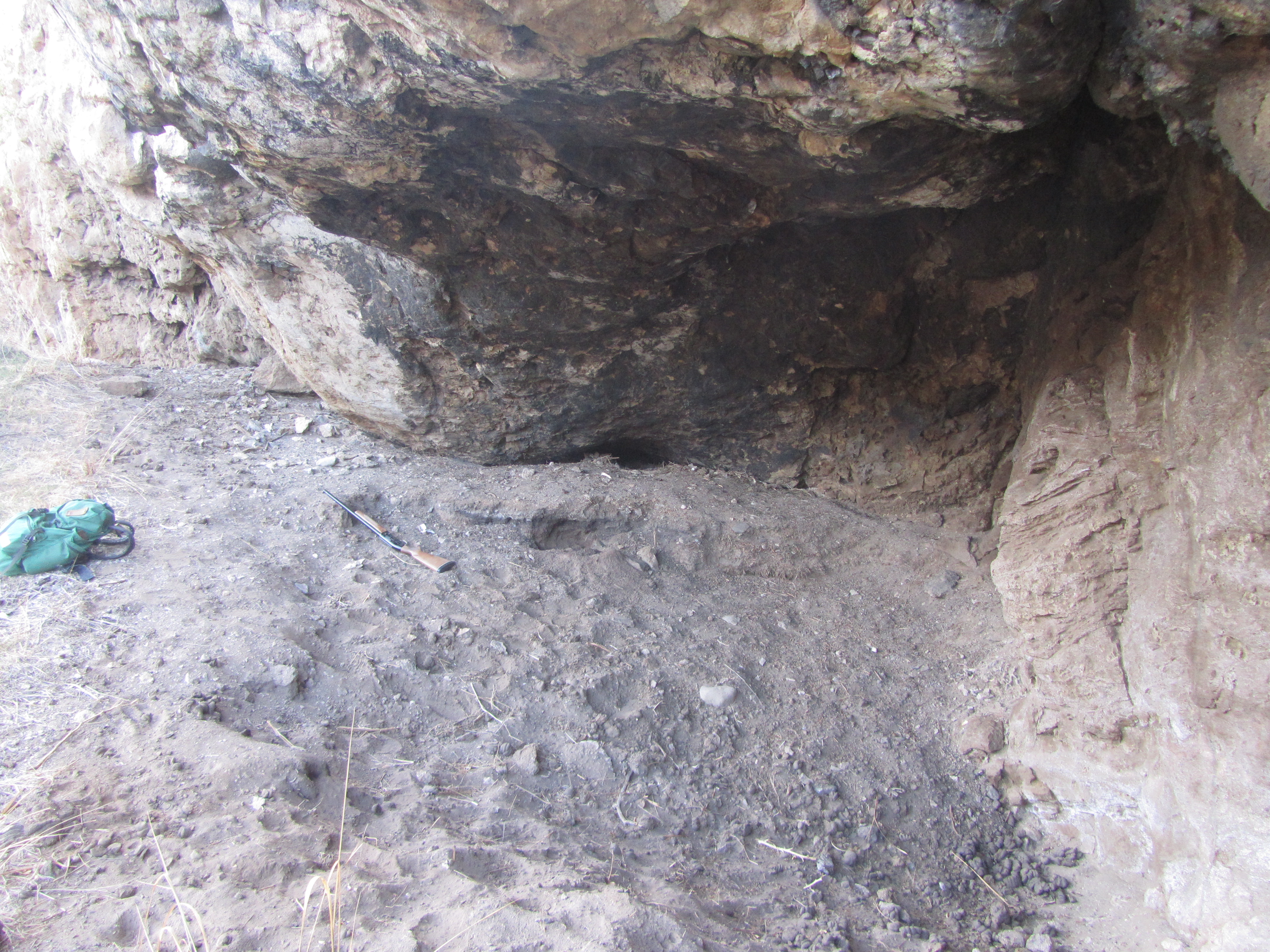
The rock ceiling was blackened from the Native American’s countless cooking fires. Unfortunately countless cows have also taken shelter in the cave and pulverized most of whatever may have left there by the ancient tribes. But at the far end of the cave (to the right of my shotgun) the ceiling is too low for cows to stand. A little digging revealed a red fire baked layer topped with several inches of charcoal, partially burnt wood, and charred animal bones. Evidently neither artifact hunters, vandals, not archeologists have found this cave and dug it out. This cave was not marked on the map, nor will I be naming this secret chukarless canyon.
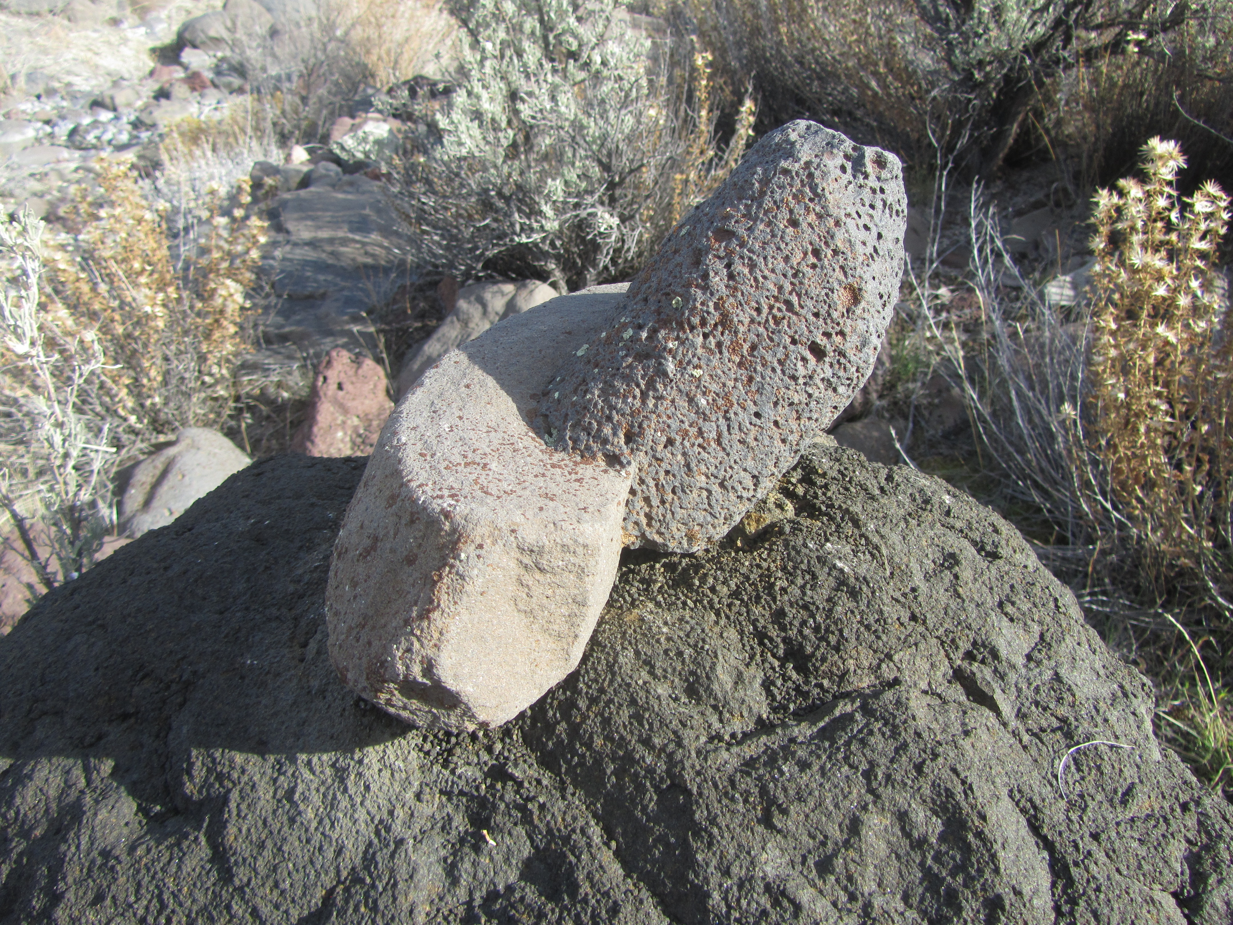
But it is not like I am the first to visit here. Plenty of cowboys have been through I am sure, and this cool rock was sitting right on top of a big rock on the canyon floor. I doubt it was deposited there by a flood. I wish I knew how long ago it was that someone set it up there.
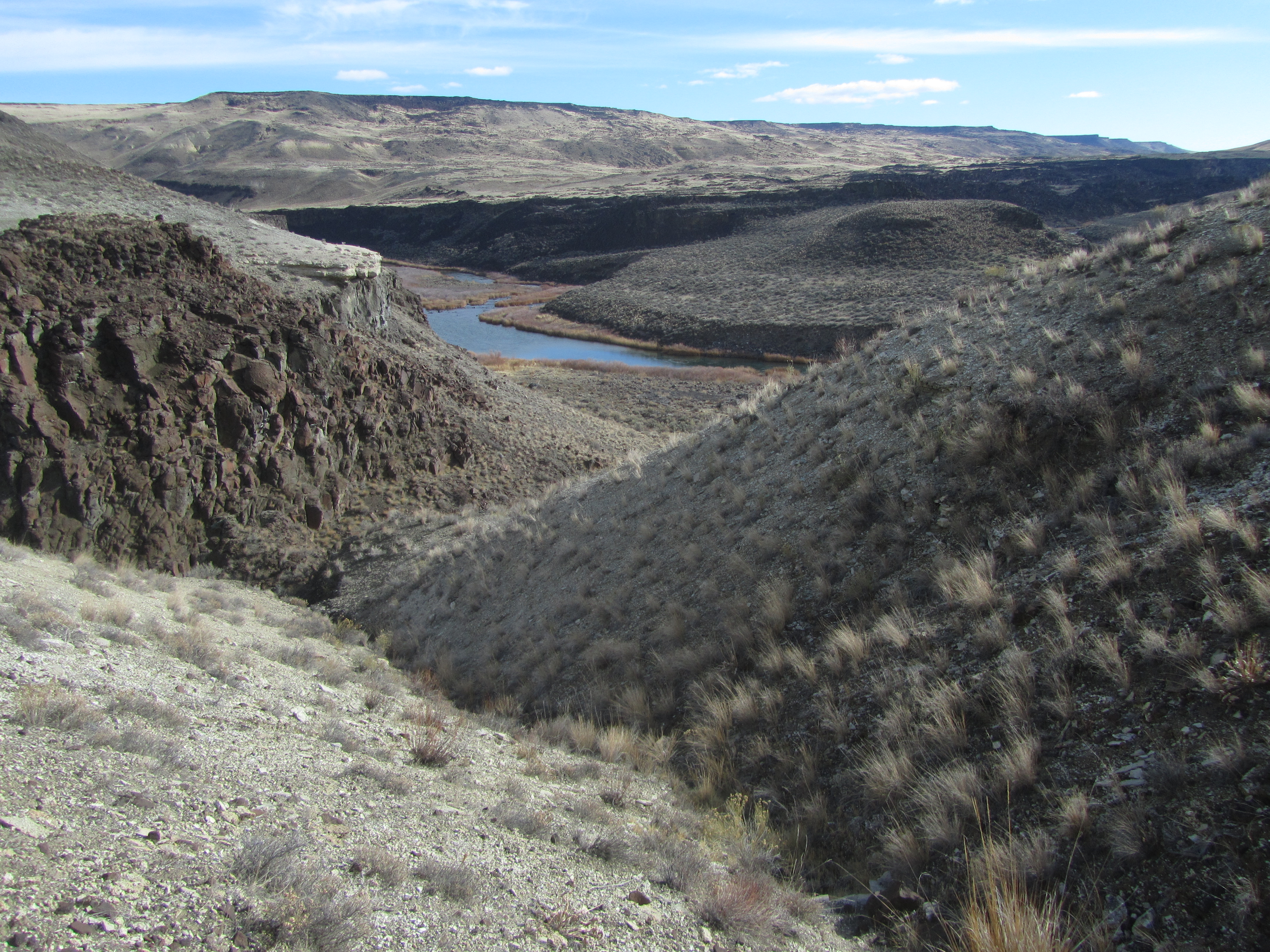
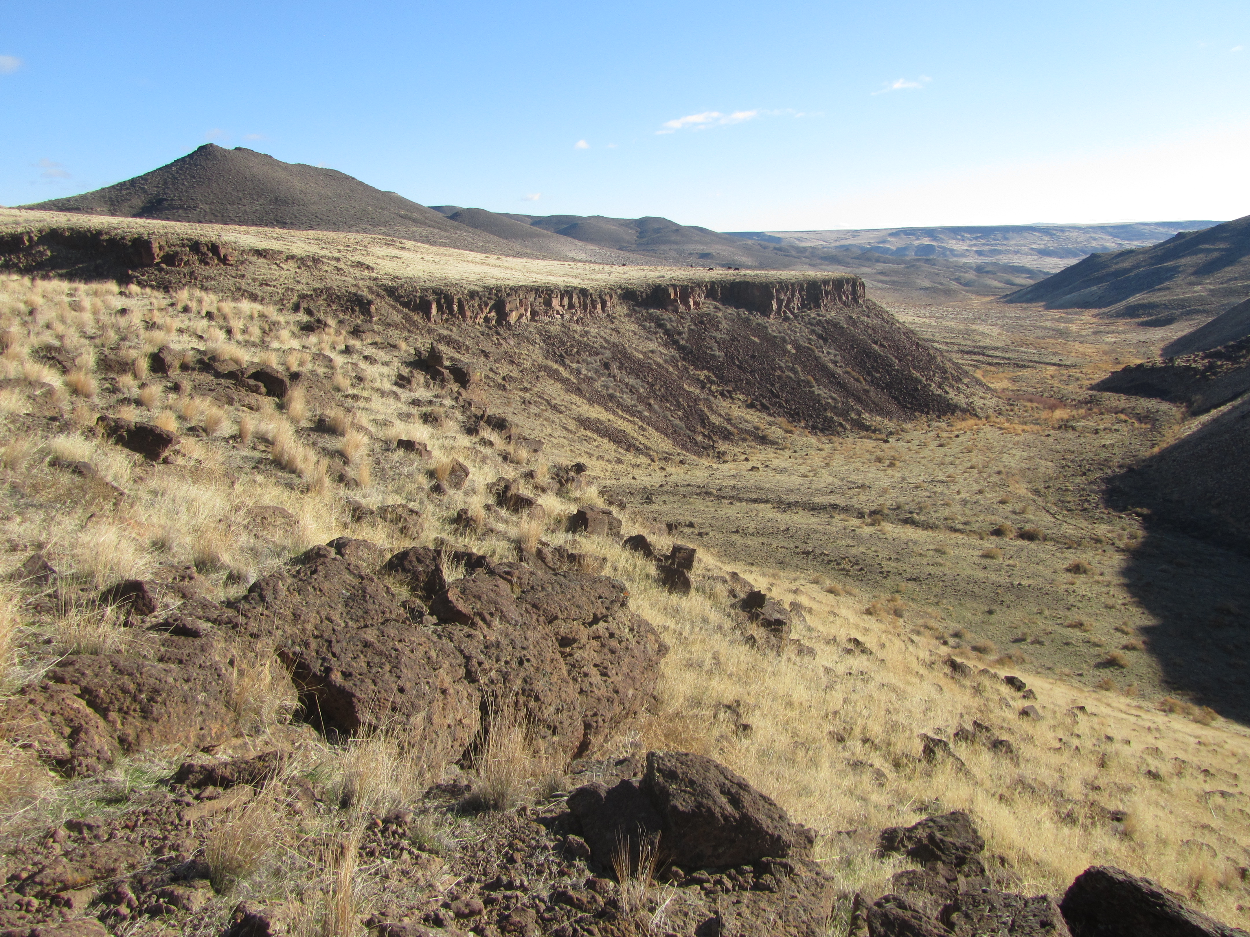
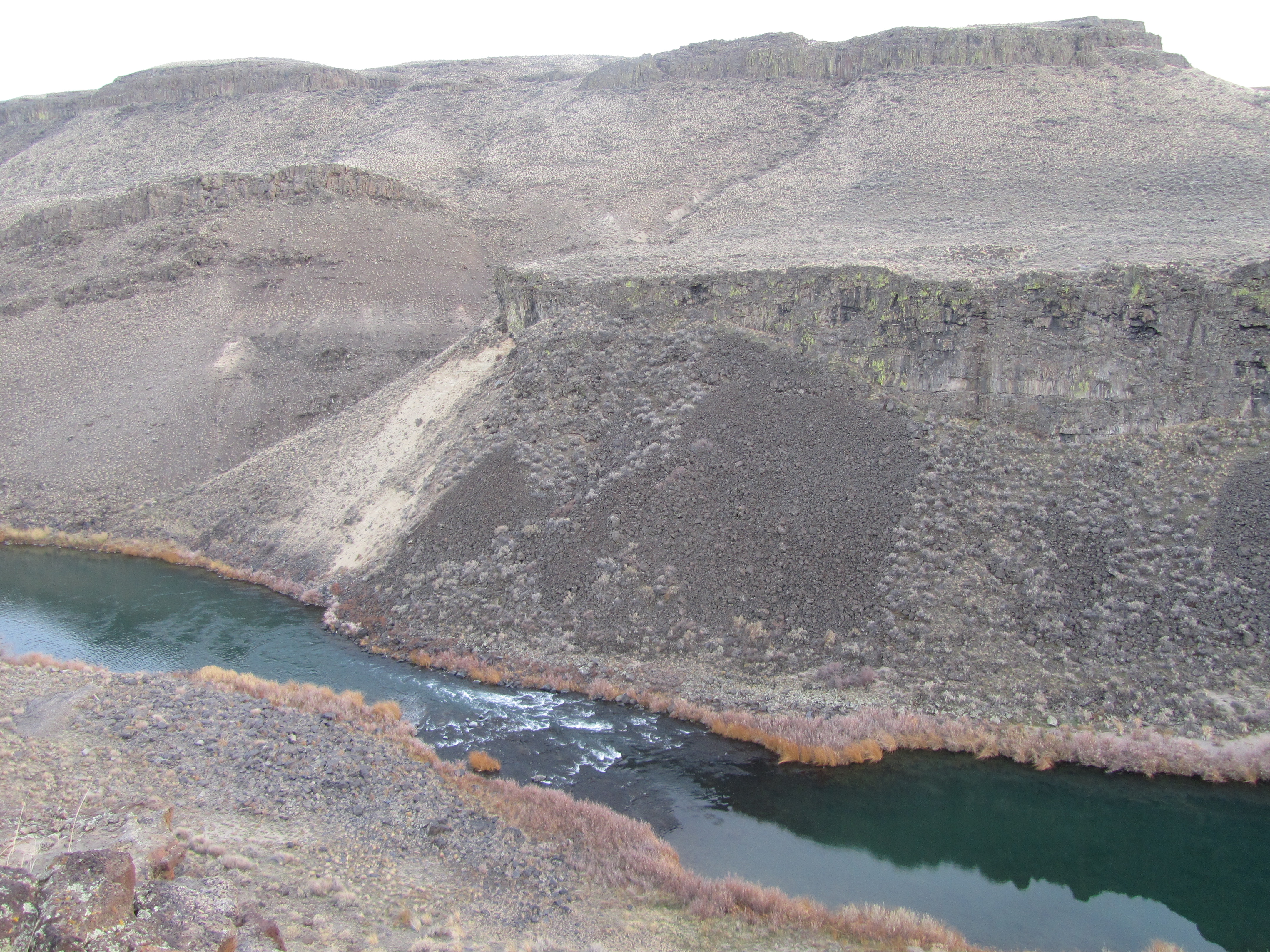
Two hours of hiking down the canyon and I finally can see the Owyhee River. A long story I am sure, but somehow back in the 1840’s three Hawaiian men became part of a fur trapping party in this region. For some reason they left the group and set off on their own. They were never seen or heard of again. Poor bastards, they could not have been much farther from their tropical paradise homeland. And thus the name Owyhee was derived from the trapper era spelling of these men from (H)awaii.
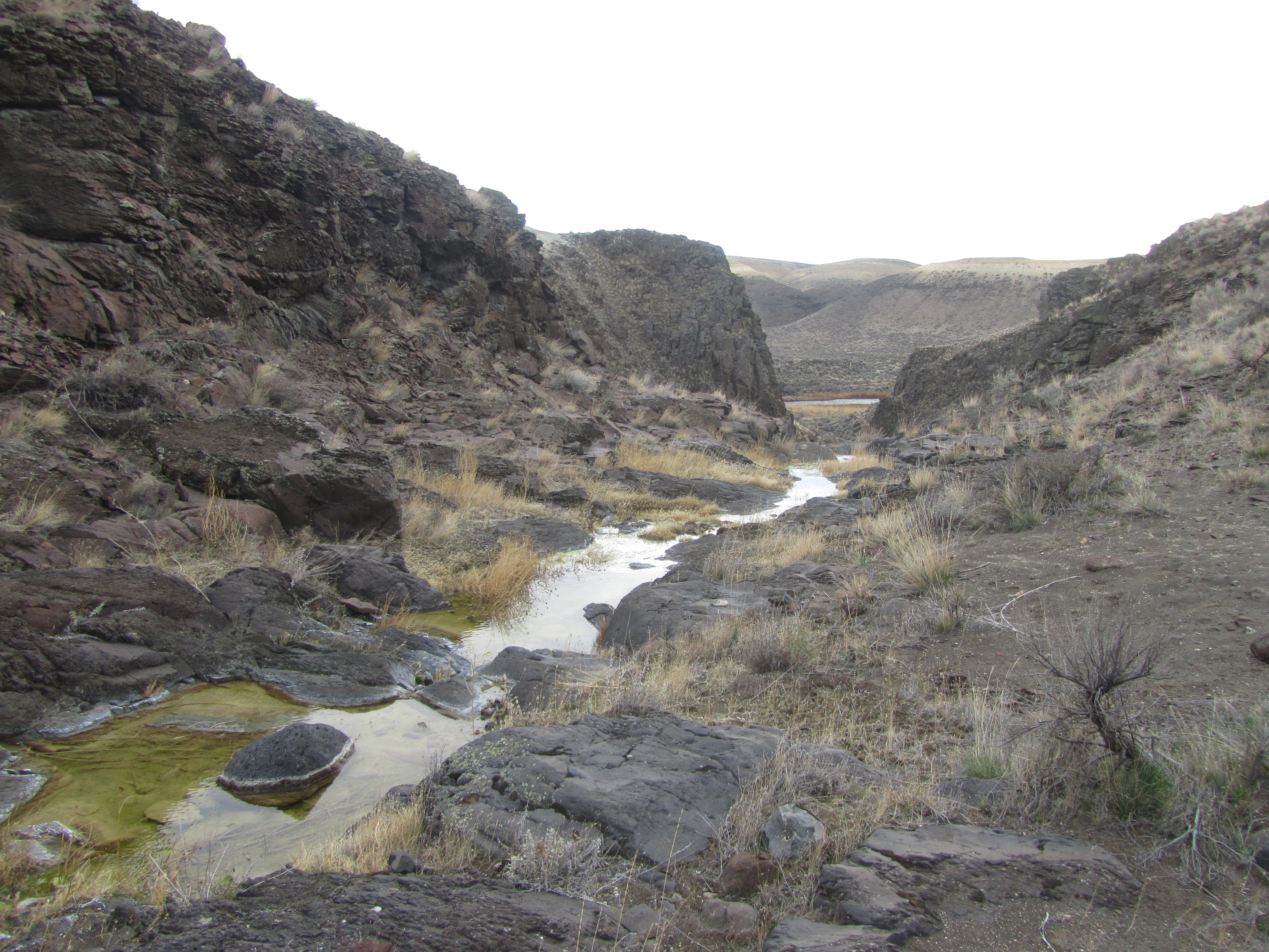
Intermittent steams like this little creek mostly run underground. Through several miles of bone-dry hiking, I passed through several boggy wet areas where a cow or a chukar could find enough water for a drink, but these were the first pools I found. The solid bedrock does not allow the water to flow underground.
Nor did the solid bedrock let me continue to walk down the bottom of the canyon. Just beyond the pools was a 50+ feet high “waterfall” that I had to hike around.
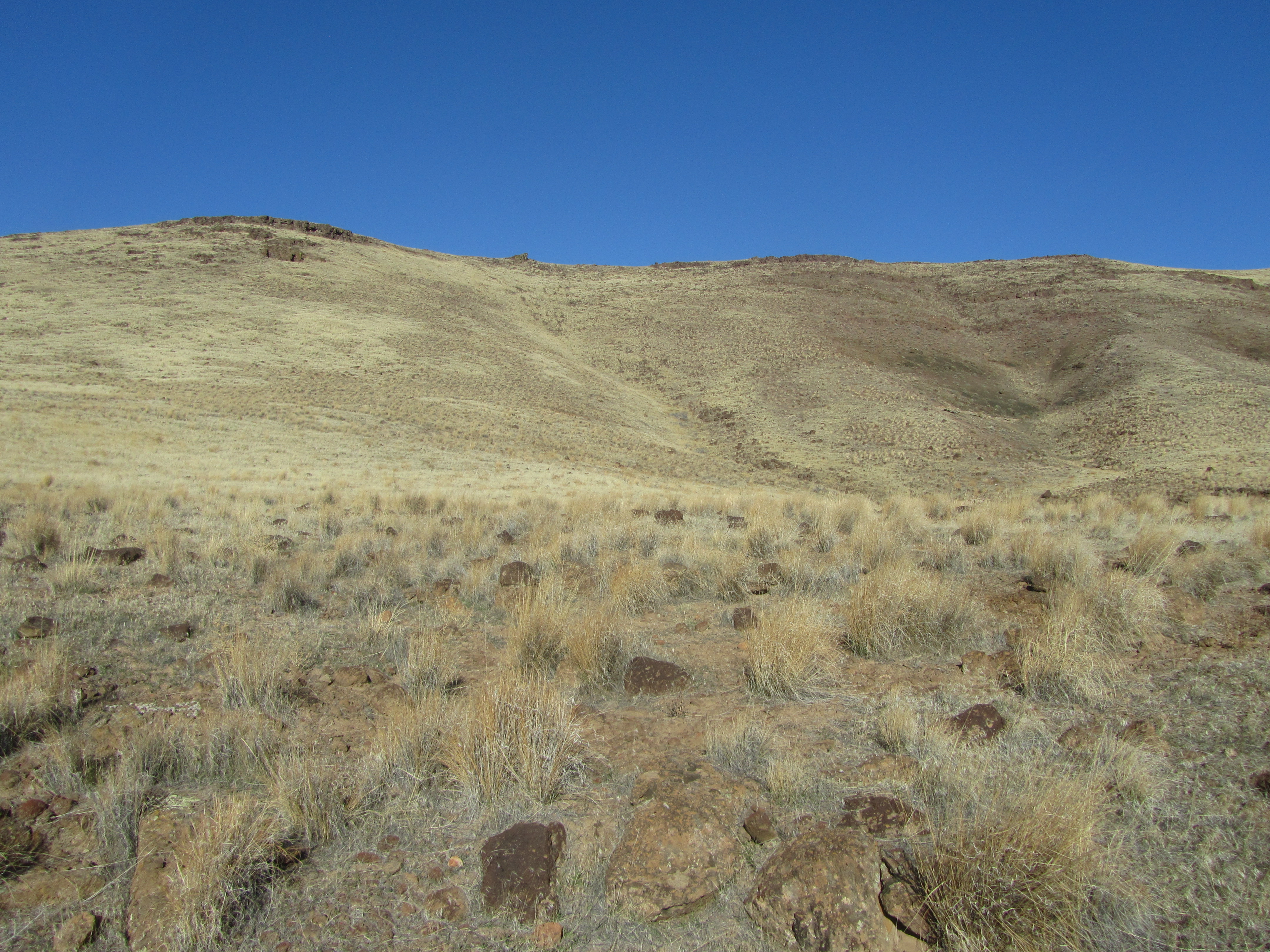
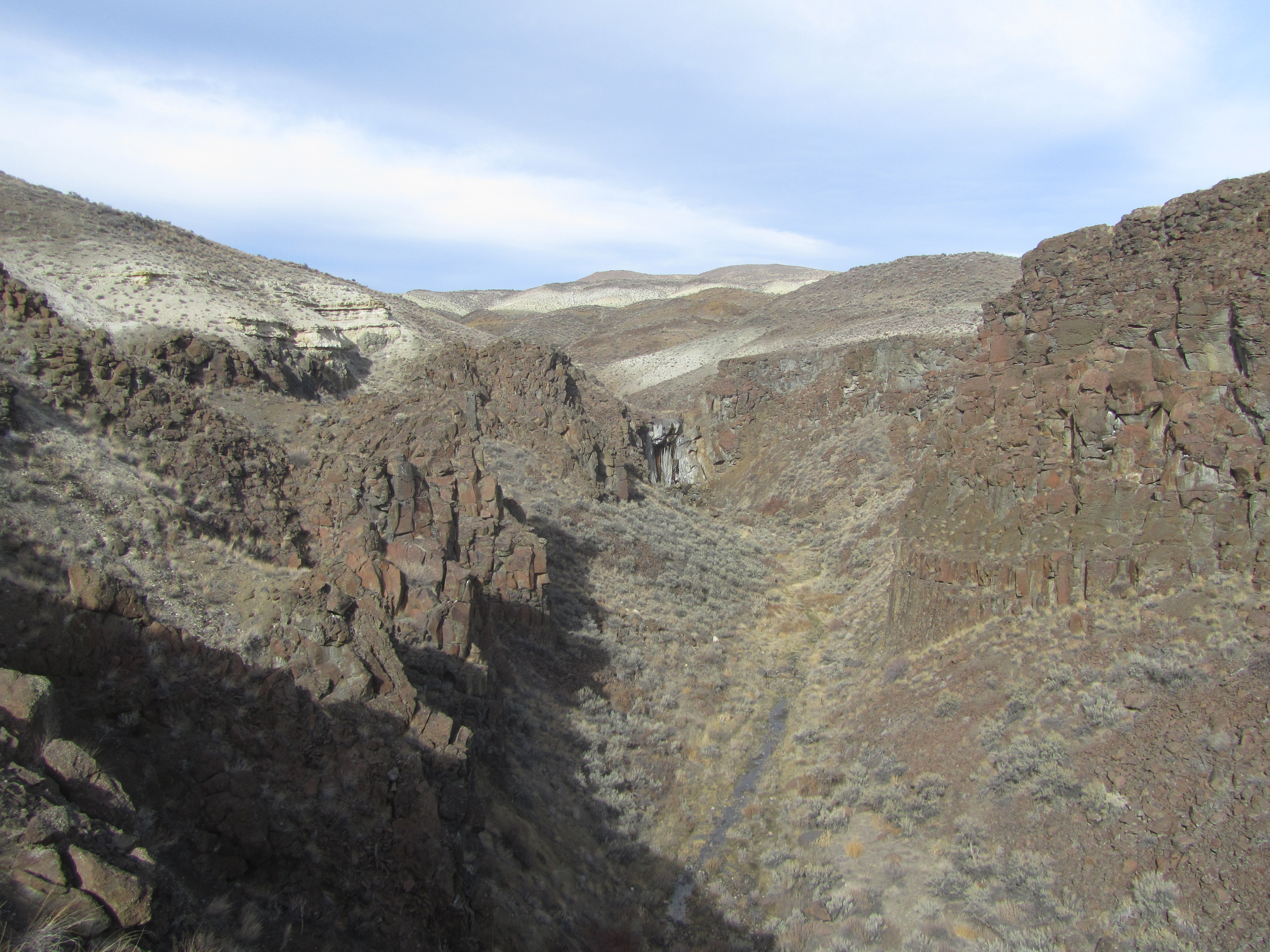
Plenty of sagebrush covered hills. Lots of craggy rimrocks. Tall ungrazed bunchgrass on the hill sides for nesting. Year round water and springs. A big river below. All this perfect chukar habitat, and no other hunters. What more could a chukar hunter want? Some frickin’ chukars, that’s what! I never saw any sign whatsoever of the little bandits. Just across the river was the area where my friend’s brother allegedly shot so many chukars this fall. Perhaps they only live over on that side?
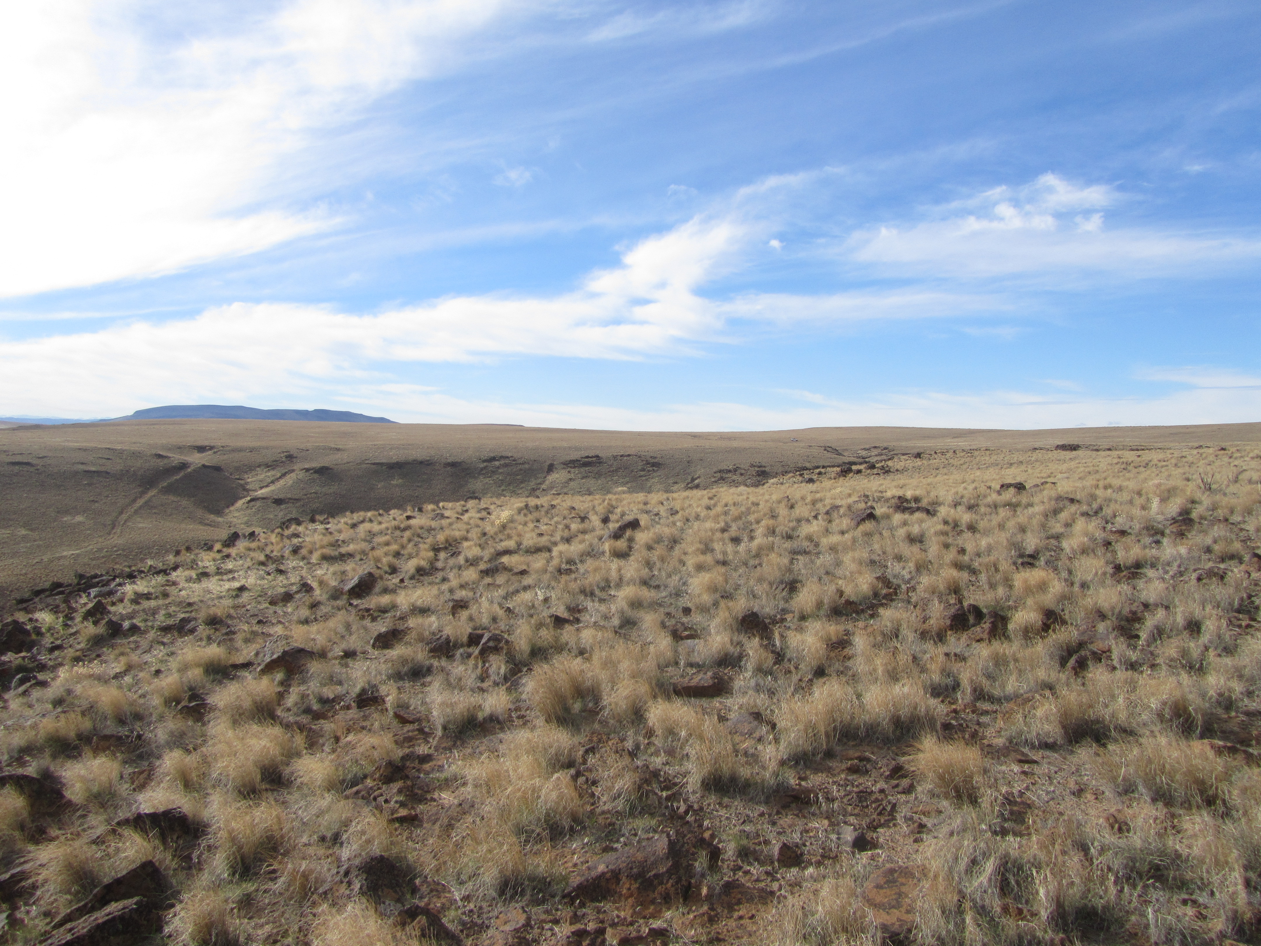
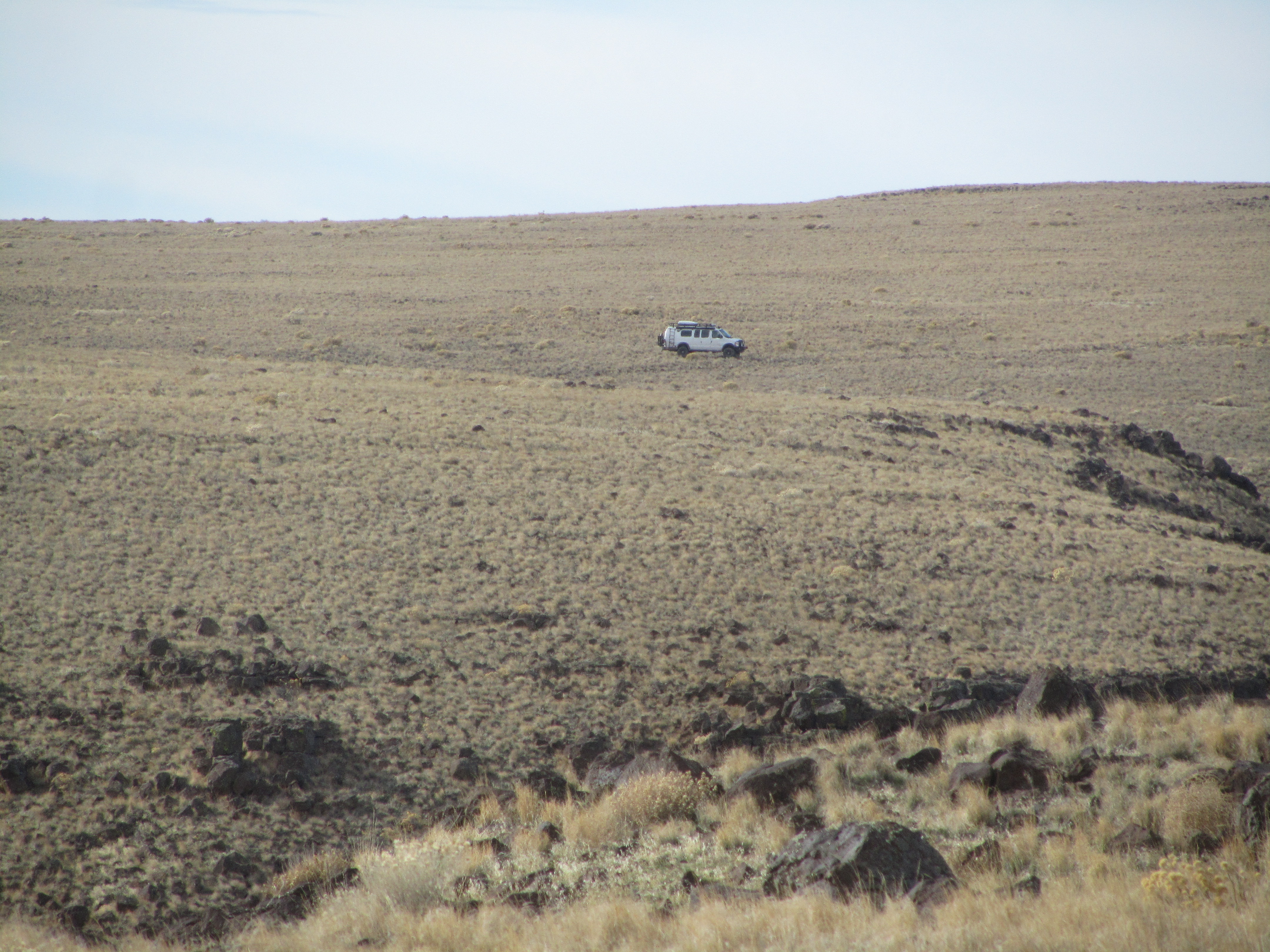
With no sign of chukars in the valley floor, I took a rocky ridgeback route back to the top. Two and a half hours and 1500 feet elevation gain later, I could say there were no chukars up high either. But at least I spotted Moby far in the distance. Can you find Moby in the above picture?
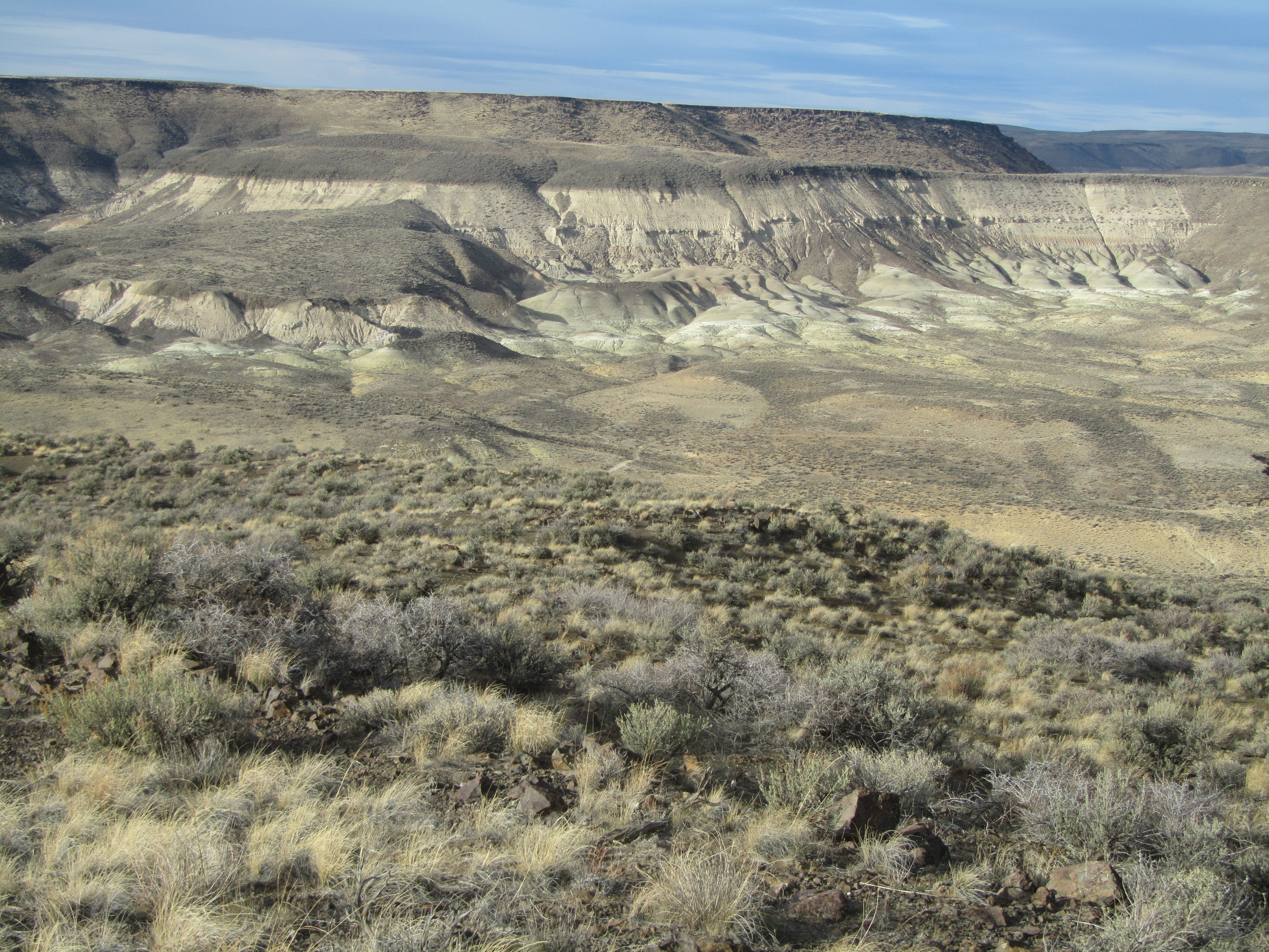
The hunt over, it was back to Moby for a little sightseeing. The eroded hills in Chalk Basin reminded me of the Painted Hills in Central Oregon.
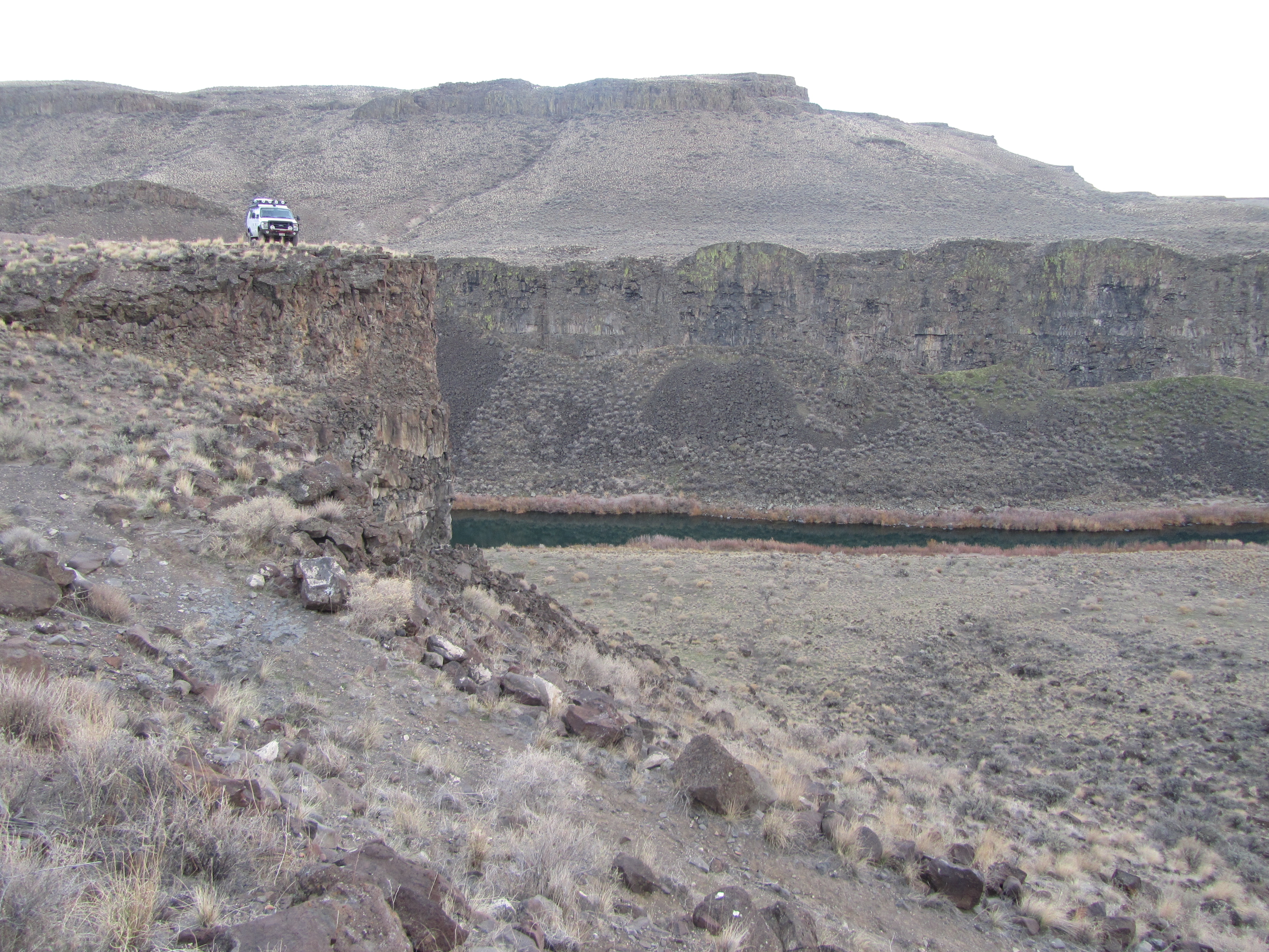
“All who wander are not lost,” wrote Tolkien in his poem “All That is Gold Does Not Glitter.” At the end of the steepest, roughest road of my trip, I discovered this awesome cliff top camp spot. This just the sort of place Janene thinks we should put in a book called “Larry’s Secret Spots.” Fat chance I’ll ever let that book get printed.
The Owyhee River view from Larry’s newest secret camp spot. Moby will be back.

..and BTW, Larry looks like one bad chukar hun…*shut yo’ mouth* ~I’m only talking about Larry.
I found Moby! In that picture where it looked like there was no Moby, my blessed near sightedness has paid off because I saw a spec of pearl in a sea of coyote-brown. Keep up the good work:)
-Dubert